43 cities

Location of Democratic Republic of the CongoEquatorial GuineaeSwatiniSouth SudanCentral African RepublicWestern SaharaKenyaSierra LeoneGabonTogoUgandaSudanAngolaYemenBurkina FasoMaliSenegalLibyaBeninBurundiEgyptSeychellesNigeriaSaint HelenaEthiopiaSouth AfricaFranceUnited Arab EmiratesLesothoEritreaCongoComorosOmanLiberiaBotswanaSomalilandMalawiSomaliaRwandaDjiboutiSaudi ArabiaTanzaniaAlgeriaMoroccoGhanaMozambiqueMadagascarCameroonCôte d'IvoireNigerSão Tomé and PrincipeZambiaChadZimbabweGuineaMauritaniaNamibiaDemocratic Republic of the CongoKinshasaBeniKanangaKikwitKisanganiBukavuKolweziMbuji-MayiLikasiLubumbashi
Country

Democratic Republic of the Congo

1.86° S, 23.46° E

The population grows 3.09% a year, at 38.8 per 1,000 births per 1,000 people.

population growth +3.09% · 8th/230 · birth rate 38.8 per 1,000 · 7th/226
CIA World Factbook · 2026-02-01 · ranks computed across the countries in this atlas that carry the value

Population
86,790,567
Area
2,344,858 km²
Population density
≈ 37 / km²
Capital
Kinshasa
Natural Earth
ISO codes
CD · COD
GDP (nominal)
$70.75 billion
GDP per capita (PPP)
$1,500
How big, reallyDrawn at the same scale as Mexico — the next country down in size. Equal-area projection, not the map you are used to.
Democratic Republic of the Congo 2,344,858 km²Mexico 1,964,375 km²

geometry: Natural Earth 1:50m · EPSG:6933 equal-area

Where Democratic Republic of the Congo sits in the world

Each line is every country in this atlas that carries the value, ordered smallest to largest. The line down the middle is the world median; the mark on each line is this country.

  1. Median age16.9 years218th of 224 · median 32.6 years
  2. Life expectancy62.6 years212th of 224 · median 76.2 years
  3. Fertility rate5.42 children per woman4th of 225 · median 1.92 children per woman
  4. Population86,790,56716th of 235 · median 5,454,073
  5. Total area2,344,858 km²12th of 228 · median 83,736 km²
  6. Coastline37 km178th of 229 · median 402 km

Overview

Name

The name comes from the Congo River, most of which lies within the Democratic Republic of the Congo. The river’s name derives from "Kongo," a Bantu kingdom in the area.

Source: CIA World Factbook · 2026-02-01 · text generated from this source, approved by a person

Climate

Across the equatorial river basin, the tropical climate is hot and humid, while southern highlands are cooler and drier and eastern highlands cooler and wetter. North of the Equator, the wet season runs from April to October, while the dry season runs from December to February. South of the Equator, the wet season runs from November to March, while the dry season runs from April to October.

Source: CIA World Factbook · 2026-02-01 · text generated from this source, approved by a person

People and society

Its people include African ethnic groups, with a Bantu majority; Mongo, Luba, Kongo, and Mangbetu-Azande are among them. Mongo, Luba, and Kongo are Bantu groups, while Mangbetu-Azande is identified as Hamitic. French is official, while Lingala serves as a trade language; Kingwana is a Kiswahili or Swahili dialect. Kikongo and Tshiluba are also spoken.

Christian communities include Roman Catholic, Protestant, and other Christian traditions; Kimbanguist and Muslim communities, syncretic sects, and indigenous beliefs are also present. Urban clusters spread throughout the country, particularly in the northeast along borders with Uganda, Rwanda, and Burundi. The capital, Kinshasha, is the largest city, located in the west along the Congo River. The south is least densely populated.

Source: CIA World Factbook · 2026-02-01 · text generated from this source, approved by a person
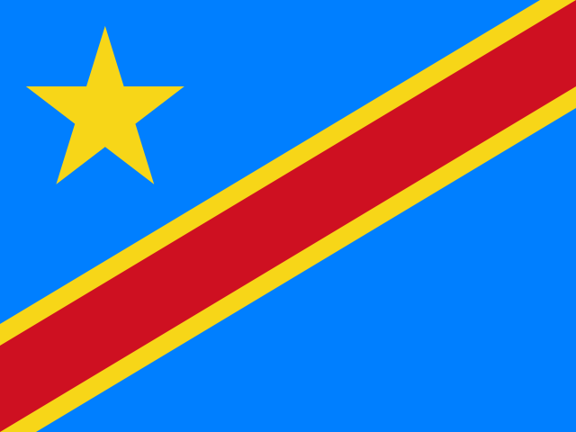
Key figures

CIA World Factbook

Economy

GDP (nominal)
$70.75 billion
GDP (PPP)
$164.37 billion
GDP per capita (PPP)
$1,500
GDP growth
+6.7%
Inflation (consumer prices)
41.5%
Unemployment
4.6%
Exports
$29.65 billion
Imports
$33.68 billion

People

Life expectancy
62.6 years
Median age
16.9 years
Birth rate
38.8 per 1,000
Death rate
7.37 per 1,000
Fertility rate
5.42 children per woman
Population growth
+3.09% a year
Urban population
47.4%
Literacy
73.6%
Languages
  • Frenchofficial
  • Lingala
  • Kingwana
  • Kikongo
  • Tshiluba

Land

Total area
2,344,858 km²Land 2,267,048 km² · Water 77,810 km²
Coastline
37 km
Land borders
11,027 km
Mean elevation
726 m
Highest point
5,110 m Pic Marguerite on Mont Ngaliema (Mount Stanley)

Values from the CIA World Factbook archive. Each carries the year it describes; open a year for the exact source field.

Connections

Natural geography 12

Natural Earth outlines · features with a Wikidata ID

Plateaus 1

Largest cities 43

Population · Natural Earth

  1. Kinshasacapital7.8M
  2. Lubumbashi1.4M
  3. Mbuji-Mayi1.3M
  4. Kananga765K
  5. Kikwit637.7K
  6. Kisangani578.5K
  7. Bukavu436.8K
  8. Likasi434.4K
  9. Kolwezi418K
  10. Beni332.9K
  11. Butembo286.4K
  12. Mbandaka275K

Sources