Name
A river forming Senegal’s northern border gives the country its name; the river’s name may derive from "Azenegue," the Portuguese name for the Berber Zenaga people who lived north of the river, or from a local word meaning "navigable".
Source: CIA World Factbook · 2026-02-01 · text generated from this source, approved by a person
Background
Continuous human life from the Paleolithic period to the present is documented in Senegal. Between the 14th and 16th centuries, the Jolof Empire ruled across Senegal. Starting in the 15th century, Portugal, the Netherlands, France, and Great Britain traded along Senegal's coast. Senegal's position on Africa's western tip made it a favorable base for the European slave trade. European powers used Goree as a base to purchase enslaved people from warring chiefdoms on the mainland. In 1815, France abolished slavery and began expanding inland. During the second half of the 19th century, France took possession of Senegal as a French colony.
In 1959, Senegal and French Sudan were merged as French colonies and granted independence in 1960 as the Mali Federation, but the union then broke up. In 1982, Senegal joined with Gambia to form the nominal confederation of Senegambia. The envisaged integration was never implemented, and the union dissolved in 1989. Since the 1980s, the Movement of Democratic Forces in the Casamance, a separatist movement based in southern Senegal, has led a low-level insurgency. Attempts at a comprehensive peace agreement have failed, but since 2012 an unofficial cease-fire has remained largely in effect despite sporadic violence. Senegal has a stable democracy and a long history of participating in international peacekeeping and regional mediation. The Socialist Party ruled until Abdoulaye Wade was elected president in 2000 and re-elected in 2007. Wade amended Senegal's constitution to increase executive power and weaken the opposition. In 2012, Wade's decision to seek a third presidential term sparked public backlash and led to his loss to Macky Sall. A 2016 constitutional referendum limited future presidents' consecutive terms, and President Bassirou Diomaye Faye took office in April 2024.
Source: CIA World Factbook · 2026-02-01 · text generated from this source, approved by a person
Geography
Senegal is the westernmost country on the African continent. It borders the North Atlantic Ocean in western Africa, between Guinea-Bissau and Mauritania. Gambia is almost an enclave within Senegal.
The terrain consists of generally low, rolling plains rising to foothills in the southeast. The highest point is an unnamed elevation southeast of Nepen Diaka. The Atlantic Ocean is the lowest point. Natural resources include fish, phosphates, and iron ore.
Source: CIA World Factbook · 2026-02-01 · text generated from this source, approved by a person
Government
A presidential republic governs Senegal. Its civil law system is based on French law, and the Constitutional Council reviews legislative acts. The current constitution was adopted by referendum 7 January 2001 and promulgated 22 January 2001. Senegal gained independence from France on 4 April 1960, followed by full independence on 20 August 1960 after the federation with Mali was dissolved. Independence Day, 4 April (1960), is the national holiday.
Source: CIA World Factbook · 2026-02-01 · text generated from this source, approved by a person
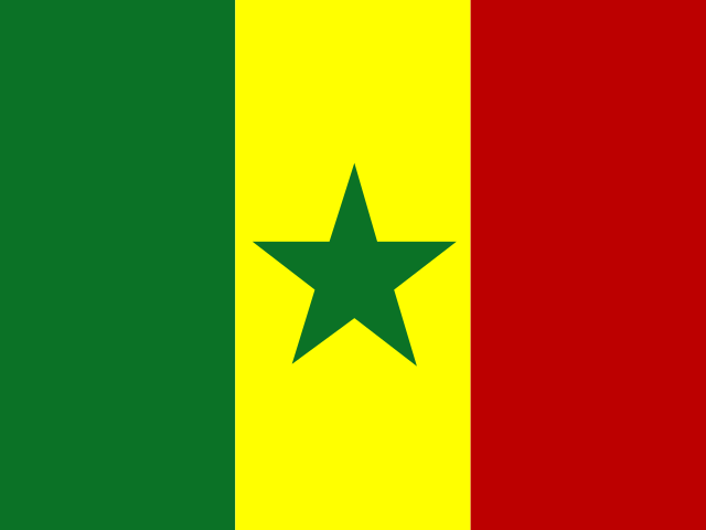 Senegal