Overview
Name
The name comes from the Guinea region of West Africa that lies along the Gulf of Guinea. The name itself derives from the Tuareg word "aginaw", meaning "black people".
Source: CIA World Factbook · 2026-02-01 · text generated from this source, approved by a person
Background
Deep Muslim heritage reached Guinea through the neighboring Almoravid Empire in the 11th century, and the Mali Empire took control in the 13th century, encouraging its growth. European traders arrived in the 16th century, France secured colonial rule in the 19th century, and Guinea achieved independence in 1958. After the West African empires fell, various smaller kingdoms controlled Guinea; in the 18th century, Fulani Muslims established an Islamic state in central Guinea.
Sekou Toure became Guinea’s first post-independence president, established a dictatorial regime, and ruled until his death in 1984. Conte established an authoritarian regime and manipulated presidential elections until his death in 2008, when Captain Moussa Dadis Camara seized power. Camara suspended the constitution, was wounded in an assassination attempt in 2009, and was exiled to Burkina Faso. Guinea held free and fair presidential and legislative elections in 2010 and 2013, and Alpha Conde won elections in 2010 and 2015. In 2020, Conde won a third term; in 2021, Col Mamady Doumbouya led a coup, established the CNRD, suspended the constitution, and dissolved government and legislature. The CNT formed in 2022 as the transition’s legislative body.
Source: CIA World Factbook · 2026-02-01 · text generated from this source, approved by a person
Geography
On the North Atlantic coast of Western Africa, Guinea lies between Guinea-Bissau and Sierra Leone. Its terrain shifts from a generally flat coastal plain to a hilly or mountainous interior.
The Niger and its important tributary, the Milo River, have their sources in the Guinean highlands. Guinea's natural resources include bauxite, iron ore, diamonds, gold, uranium, hydropower, fish, and salt. Mont Nimba is the country's highest point. The Atlantic Ocean is the country's lowest point.
Source: CIA World Factbook · 2026-02-01 · text generated from this source, approved by a person
Government
A presidential republic is Guinea's form of government. Its legal system is a civil law system based on the French model. The current constitution took effect in 2010, after previous constitutions in 1958 and 1990 and a referendum in 2020. A coup d'état suspended it on 5 September 2021; the Transitional Charter was released on 27 September and supersedes the constitution until a new constitution is promulgated. Guinea gained independence from France on 2 October 1958, and its national holiday is Independence Day, 2 October (1958).
Source: CIA World Factbook · 2026-02-01 · text generated from this source, approved by a person
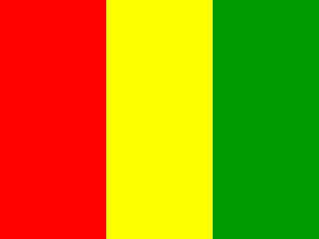 Guinea