Name
The country's name comes from the coastal Namib Desert. "Namib" comes from the local Nama language and means "an area where there is nothing."
Source: CIA World Factbook · 2026-02-01 · text generated from this source, approved by a person
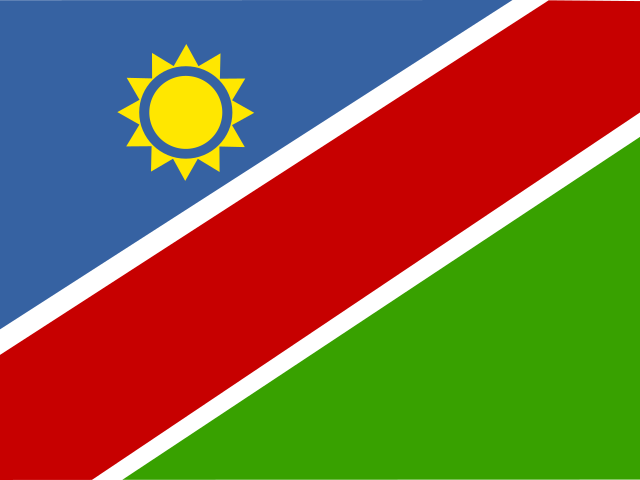 Namibia
20.58° S, 17.11° E
Life expectancy of 65.9 years — the 26th lowest of 224 countries.
life expectancy 65.9 years · 199th/224
CIA World Factbook · 2026-02-01 · ranks computed across the countries in this atlas that carry the value
geometry: Natural Earth 1:50m · EPSG:6933 equal-area
Each line is every country in this atlas that carries the value, ordered smallest to largest. The line down the middle is the world median; the mark on each line is this country.
The country's name comes from the coastal Namib Desert. "Namib" comes from the local Nama language and means "an area where there is nothing."
Source: CIA World Factbook · 2026-02-01 · text generated from this source, approved by a person
Various ethnic groups occupied southwestern Africa before Germany established a colony over most of the territory in 1884. South Africa occupied the colony, then known as German South West Africa, in 1915 during World War I. South Africa administered it as a mandate until after World War II, when it annexed the territory. In 1966, the Marxist South-West Africa People's Organization (SWAPO) guerrilla group launched a war of independence for the area that became Namibia. It was not until 1988 that South Africa agreed to end its administration in accordance with a UN peace plan for the entire region.
Namibia gained independence in 1990, and SWAPO has governed it since, although the party has dropped much of its Marxist ideology. President Hage Geingob was elected in 2014 in a landslide victory, replacing Hifikepunye Pohamba, who stepped down after serving two terms. SWAPO retained its parliamentary super majority in the 2014 elections. In 2019 elections, Geingob was reelected by a substantially reduced majority, and SWAPO narrowly lost its super majority in parliament.
Source: CIA World Factbook · 2026-02-01 · text generated from this source, approved by a person
Its people include Ovambo, Kavangos, Herero, Damara, mixed European and African ancestry, and European. Nama, Caprivian, San, Baster, and Tswana are also among its ethnic groups.
People identify as Christian, Muslim, Baha'i, Jewish, Buddhist, or unaffiliated. Population density is very low, with the largest clusters found in the extreme north-central area along the border with Angola.
Source: CIA World Factbook · 2026-02-01 · text generated from this source, approved by a person
Government takes the form of a presidential republic. Its legal system is a mixed system of uncodified civil law based on Roman-Dutch law and customary law. The Constitution was adopted 9 February 1990 and entered into force 21 March 1990. Namibia gained independence from South African mandate on 21 March 1990. The national holiday is Independence Day, 21 March (1990).
Source: CIA World Factbook · 2026-02-01 · text generated from this source, approved by a person
CIA World Factbook
Values from the CIA World Factbook archive. Each carries the year it describes; open a year for the exact source field.
Natural Earth outlines · features with a Wikidata ID
Population · Natural Earth