Name
The name Botswana means "Land of the Tswana," referring to the country's largest ethnic group.
Source: CIA World Factbook · 2026-02-01 · text generated from this source, approved by a person
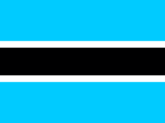 Botswana
22.10° S, 24.18° E
No coast at all — every one of its 4,347 km of border is shared with another country.
coastline 0 km · 185th/229 · land borders 4,347 km · 45th/230
CIA World Factbook · 2026-02-01 · ranks computed across the countries in this atlas that carry the value
geometry: Natural Earth 1:50m · EPSG:6933 equal-area
Each line is every country in this atlas that carries the value, ordered smallest to largest. The line down the middle is the world median; the mark on each line is this country.
The name Botswana means "Land of the Tswana," referring to the country's largest ethnic group.
Source: CIA World Factbook · 2026-02-01 · text generated from this source, approved by a person
Conflicts and population movements in southern Africa destabilized or destroyed multiple political entities in what is now Botswana during the early 1800s. The Tswana ethnic group, who also live across the border in South Africa, became the area's most prominent group by the end of this period. In 1852, Tswana forces halted white Afrikaner settlers seeking to expand their territory northwards into what is now Botswana. In 1885, Great Britain claimed territory roughly corresponding with modern day Botswana as a protectorate called Bechuanaland. At independence in 1966, the British protectorate adopted the name Botswana, meaning "land of the Tswana."
Since independence, uninterrupted civilian leadership, progressive social policies, and significant capital investment have created an enduring democracy and upper-middle-income economy. The Botswana Democratic Party has won every national election since independence, and Mokgweetsi Eric Keabetswe Masisi assumed the presidency in 2018 after Ian Khama retired due to constitutional term limits. Masisi won his first election as president in 2019. Mineral extraction, principally diamond mining, dominates economic activity, while tourism is a growing sector linked to conservation practices and extensive nature preserves. Botswana has one of the world's highest rates of HIV/AIDS infection and one of Africa's most progressive and comprehensive programs for dealing with the disease.
Source: CIA World Factbook · 2026-02-01 · text generated from this source, approved by a person
The climate is semiarid, with warm winters and hot summers. Seasonal August winds blow from the west, carrying sand and dust across the country and can obscure visibility, while periodic droughts occur.
Source: CIA World Factbook · 2026-02-01 · text generated from this source, approved by a person
The population is primarily concentrated in the east, with a focus in and around the capital of Gaborone and the eastern city of Francistown. Population density remains low in other areas, especially in the Kalahari Desert to the west.
Its ethnic groups include Tswana (or Setswana), Kalanga, Basarwa, Kgalagadi, and people of European ancestry. Religious affiliations include Christian and Badimo, as well as Baha'i, Hindu, Muslim, and Rastafarian; some people have no religion or have not specified one.
Source: CIA World Factbook · 2026-02-01 · text generated from this source, approved by a person
CIA World Factbook
Values from the CIA World Factbook archive. Each carries the year it describes; open a year for the exact source field.
Natural Earth outlines · features with a Wikidata ID
Population · Natural Earth