Name
The name Malawi comes from the Maravi people; the word "maravi" means "flames".
Source: CIA World Factbook · 2026-02-01 · text generated from this source, approved by a person
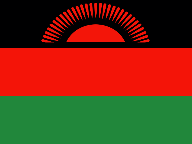 Malawi
13.39° S, 33.61° E
No coast at all — every one of its 2,857 km of border is shared with another country.
coastline 0 km · 185th/229 · land borders 2,857 km · 67th/230
CIA World Factbook · 2026-02-01 · ranks computed across the countries in this atlas that carry the value
geometry: Natural Earth 1:50m · EPSG:6933 equal-area
Each line is every country in this atlas that carries the value, ordered smallest to largest. The line down the middle is the world median; the mark on each line is this country.
The name Malawi comes from the Maravi people; the word "maravi" means "flames".
Source: CIA World Factbook · 2026-02-01 · text generated from this source, approved by a person
Lake Nyasa, the country's most prominent physical feature, lies within landlocked Malawi. It lies east of Zambia and west and north of Mozambique. Malawi's terrain forms a narrow elongated plateau with rolling plains, rounded hills, and some mountains. Lake Nyasa contains more fish species than any other lake on earth.
Its natural resources include limestone, arable land, hydropower, and unexploited deposits of uranium, coal, and bauxite. Sapitwa (Mount Mlanje) is the country's highest point. The country's lowest point is at the junction of the Shire River and the international boundary with Mozambique.
Source: CIA World Factbook · 2026-02-01 · text generated from this source, approved by a person
Chewa, Lomwe, Yao, Ngoni, Tumbuka, Sena, Mang'anja, Tonga, Nyanja, Nkhonde, and others form part of Malawi's ethnic makeup.
Religious affiliations include Protestant, Roman Catholic, other Christian, Muslim, and traditionalist affiliations, along with people with no religious affiliation. Protestant affiliations include Church of Central Africa Presbyterian, Seventh Day Adventist/Baptist, Pentecostal, and Anglican. Population density is highest south of Lake Nyasa, as shown in the population distribution map.
Source: CIA World Factbook · 2026-02-01 · text generated from this source, approved by a person
The government is a presidential republic. Its legal system combines English common law and customary law; the Supreme Court of Appeal reviews legislative acts. The latest constitution entered into force 18 May 1995, after being drafted January to May 1994 and approved 16 May 1994. Malawi gained independence from the UK on 6 July 1964. Its national holiday is Independence Day, 6 July (1964).
Source: CIA World Factbook · 2026-02-01 · text generated from this source, approved by a person
CIA World Factbook
Values from the CIA World Factbook archive. Each carries the year it describes; open a year for the exact source field.
Natural Earth outlines · features with a Wikidata ID
Population · Natural Earth