12 cities

Location of GuatemalaPanamaHondurasBelizeCubaNicaraguaCosta RicaEl SalvadorMexicoGuatemalaGuatemala CityChimaltenangoTotonicapanHuehuetenangoCobanMazatenangoQuetzaltenangoEl ProgresoEscuintlaSan Luis
Country

Guatemala

14.98° N, 90.50° W

1,667 km of land border against just 400 km of coast — this country faces its neighbors far more than it faces the sea.

coastline 400 km · 116th/229 · land borders 1,667 km · 100th/230
CIA World Factbook · 2026-02-01 · ranks computed across the countries in this atlas that carry the value

Population
16,604,026
Area
108,889 km²
Population density
≈ 154 / km²
Capital
Guatemala City
Natural Earth
ISO codes
GT · GTM
GDP (nominal)
$113.2 billion
GDP per capita (PPP)
$12,600
How big, reallyDrawn at the same scale as Austria. Equal-area projection, not the map you are used to.
Guatemala 108,889 km²Austria 83,871 km²

geometry: Natural Earth 1:50m · EPSG:6933 equal-area

Where Guatemala sits in the world

Each line is every country in this atlas that carries the value, ordered smallest to largest. The line down the middle is the world median; the mark on each line is this country.

  1. Median age26.7 years161st of 224 · median 32.6 years
  2. Life expectancy73.5 years146th of 224 · median 76.2 years
  3. Fertility rate1.97 children per woman103rd of 225 · median 1.92 children per woman
  4. Population16,604,02669th of 235 · median 5,454,073
  5. Total area108,889 km²107th of 228 · median 83,736 km²
  6. Coastline400 km116th of 229 · median 402 km

Overview

Name

The name Guatemala probably comes from "Quauhtemallan," a name used by Nahuatl-speaking Mexican allies for a former Mayan settlement. It means "land of the eagle," and the Spanish probably pronounced it "Guatemala."

Source: CIA World Factbook · 2026-02-01 · text generated from this source, approved by a person

Geography

Guatemala occupies Central America, bordering the North Pacific Ocean between El Salvador and Mexico. It also borders the Gulf of Honduras (Caribbean Sea) between Honduras and Belize. Two east-west trending mountain chains divide the country into three regions: the mountainous highlands, the Pacific coast south of the mountains, and the vast northern Peten lowlands.

Although Guatemala has eastern and western coastlines on the Caribbean Sea and Pacific Ocean, it has no natural harbors on the west coast. Guatemala lies along the Ring of Fire, a belt bordering the Pacific Ocean. Volcan Tajumulco is the highest point in Central America. The country's lowest point is the Pacific Ocean. Natural resources include petroleum, nickel, rare woods, fish, chicle, and hydropower.

Source: CIA World Factbook · 2026-02-01 · text generated from this source, approved by a person

Climate

A tropical climate brings hot, humid conditions to Guatemala's lowlands, while the highlands are cooler.

Source: CIA World Factbook · 2026-02-01 · text generated from this source, approved by a person

People and society

Mestizo people, called Ladino in local Spanish, are mixed Indigenous-Spanish; Maya, Xinca, African descent, Garifuna, and foreign residents also form part of the population. Garifuna combine West and Central African, Island Carib, and Arawak backgrounds.

Spanish is the official language, while Maya languages include Q'eqchi', K'iche, Mam, Kaqchikel, Q'anjob'al, Poqomchi', and other varieties. Xinca and Garifuna are included among the other languages. Religious affiliations include Evangelical and Roman Catholic, as well as no religion and unspecified affiliations. The population resides in the southern half, particularly in mountainous regions, and many people live in rural areas.

Source: CIA World Factbook · 2026-02-01 · text generated from this source, approved by a person

Government

A presidential republic governs Guatemala. Its legal system is based on civil law and includes judicial review of legislative acts. The latest constitution was adopted 31 May 1985 and took effect on 14 January 1986. Guatemala gained independence from Spain on 15 September 1821. Its national holiday is Independence Day, 15 September (1821).

Source: CIA World Factbook · 2026-02-01 · text generated from this source, approved by a person
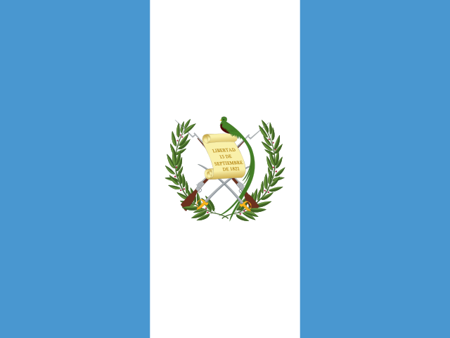
Key figures

CIA World Factbook

Economy

GDP (nominal)
$113.2 billion
GDP (PPP)
$232.67 billion
GDP per capita (PPP)
$12,600
GDP growth
+3.7%
Inflation (consumer prices)
2.9%
Unemployment
2.3%
Exports
$18 billion
Imports
$35.58 billion

People

Life expectancy
73.5 years
Median age
26.7 years
Birth rate
17.12 per 1,000
Death rate
4.99 per 1,000
Fertility rate
1.97 children per woman
Population growth
+0.99% a year
Urban population
53.1%
Literacy
82.1%
Languages
  • Spanishofficial69.9%
  • Maya languages29.7%
  • others0.4%
Religions
  • Evangelical45.7%
  • Roman Catholic42.4%
  • other0.9%

Land

Total area
108,889 km²Land 107,159 km² · Water 1,730 km²
Coastline
400 km
Land borders
1,667 km
Mean elevation
759 m
Highest point
4,220 m Volcan Tajumulco (highest point in Central America)

Values from the CIA World Factbook archive. Each carries the year it describes; open a year for the exact source field.

Connections

Natural geography 6

Natural Earth outlines · features with a Wikidata ID

Peninsulas 1

Largest cities 12

Population · Natural Earth

  1. Guatemala Citycapital1M
  2. Quetzaltenango575.3K
  3. El Progreso147.2K
  4. San Luis132.5K
  5. Escuintla107.6K
  6. Huehuetenango86K
  7. Chimaltenango82.4K
  8. Totonicapan69.7K
  9. Coban65.2K
  10. Mazatenango64.7K
  11. Puerto Barrios56.6K
  12. Jutiapa50.7K

Sources