Name
The name Colombia comes from explorer Christopher Columbus, after whom the country was named.
Source: CIA World Factbook · 2026-02-01 · text generated from this source, approved by a person
 Colombia
3.37° N, 73.17° W
Land borders of 6,672 km — the 19th highest of 230 countries.
land borders 6,672 km · 19th/230
CIA World Factbook · 2026-02-01 · ranks computed across the countries in this atlas that carry the value
geometry: Natural Earth 1:50m · EPSG:6933 equal-area
Each line is every country in this atlas that carries the value, ordered smallest to largest. The line down the middle is the world median; the mark on each line is this country.
The name Colombia comes from explorer Christopher Columbus, after whom the country was named.
Source: CIA World Factbook · 2026-02-01 · text generated from this source, approved by a person
Colombia emerged in 1830 from the dissolution of Gran Colombia, alongside Ecuador and Venezuela. A decades-long conflict among government forces, paramilitaries, and antigovernment insurgent groups, principally the Revolutionary Armed Forces of Colombia (FARC), escalated during the 1990s. The insurgent groups were heavily funded by the drug trade. After the paramilitary demobilization in the 2000s, new criminal groups arose, including some former paramilitaries.
Following formal peace negotiations, the Colombian Government signed a final accord with the FARC in 2016. The accord called for FARC members to demobilize, disarm, and reincorporate into society and politics. It committed the Colombian Government to create three institutions forming a 'comprehensive system for truth, justice, reparation, and non-repetition.' These included a truth commission and a special unit coordinating the search for those who disappeared during the conflict. The third was a Special Jurisdiction for Peace to administer justice for conflict-related crimes. Despite decades of internal conflict and drug-trade-related security challenges, Colombia maintains relatively strong and independent democratic institutions characterized by peaceful, transparent elections and the protection of civil liberties.
Source: CIA World Factbook · 2026-02-01 · text generated from this source, approved by a person
The coast and eastern plains have a tropical climate, while the highlands are cooler.
Source: CIA World Factbook · 2026-02-01 · text generated from this source, approved by a person
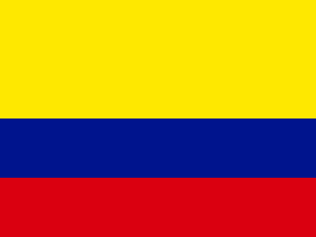
Three horizontal bands form Colombia’s flag: a double-width yellow band at the top, followed by blue and red bands. One interpretation assigns yellow to the gold in Colombia’s land, blue to the sea, and red to the blood spilled in attaining freedom. Other interpretations describe the colors as representing sovereignty and justice, loyalty and vigilance, and valor and generosity, or as standing for liberty, equality, and fraternity. The Andean condor is Colombia’s national symbol.
Source: CIA World Factbook · 2026-02-01 · text generated from this source, approved by a person
CIA World Factbook
Values from the CIA World Factbook archive. Each carries the year it describes; open a year for the exact source field.
Natural Earth outlines · features with a Wikidata ID
Population · Natural Earth