Name
Taken from a local word meaning "large body of water" or "lake," the name Chad honors Lake Chad, which lies along the country's western border.
Source: CIA World Factbook · 2026-02-01 · text generated from this source, approved by a person
 Chad
Chad15.14° N, 18.65° E
No coast at all — every one of its 6,406 km of border is shared with another country.
coastline 0 km · 185th/229 · land borders 6,406 km · 21st/230
CIA World Factbook · 2026-02-01 · ranks computed across the countries in this atlas that carry the value
geometry: Natural Earth 1:50m · EPSG:6933 equal-area
Each line is every country in this atlas that carries the value, ordered smallest to largest. The line down the middle is the world median; the mark on each line is this country.
Taken from a local word meaning "large body of water" or "lake," the name Chad honors Lake Chad, which lies along the country's western border.
Source: CIA World Factbook · 2026-02-01 · text generated from this source, approved by a person
The south has a tropical climate, while the north has a desert climate. Hot, dry, dusty harmattan winds occur in the north, along with periodic droughts.
Source: CIA World Factbook · 2026-02-01 · text generated from this source, approved by a person
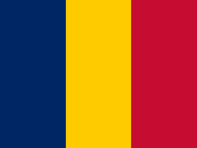
Its three equal vertical bands are blue on the left side, gold, and red. The design combines the blue and red French (former colonial) colors with the red and yellow Pan-African colors. Blue stands for the sky, hope, and the south; gold for the sun and the desert in the north; and red for progress, unity, and sacrifice. National symbols are goat in the north and lion in the south.
Source: CIA World Factbook · 2026-02-01 · text generated from this source, approved by a person
CIA World Factbook
Values from the CIA World Factbook archive. Each carries the year it describes; open a year for the exact source field.
Natural Earth outlines · features with a Wikidata ID
Population · Natural Earth