Overview
Background
A kingdom established in the 1600s had borders similar to modern Burundi's from the 1800s. Hutu and Tutsi shared language and culture and largely coexisted peacefully under Tutsi monarchs before colonial rule. German and Belgian rule preserved the monarchy, while Belgian officials removed most Hutu chiefs to simplify administration. After Louis Rwagasore was murdered in 1961, Burundi gained independence from Belgium in 1962 as a kingdom. Rwanda's revolution intensified ethnic polarization; a failed Hutu-led coup in 1965 preceded the monarchy's overthrow and a Tutsi-dominated republic in 1966.
After a new constitution and democratic elections in 1992 and 1993, Tutsi officers assassinated Burundi's Hutu president Melchior Ndadaye, sparking civil war. In 1994, his successor, Cyprien Ntaryamira, died when the plane carrying him and Rwanda's president was shot down, triggering genocide in Rwanda and deeper conflict in Burundi. The Arusha Agreement, signed in 2000, and later cease-fires with armed movements ended the 1993-2005 civil war. Burundi's second democratic elections in 2005 elected Pierre Nkurunziza president; he won reelection in 2010 and 2015 after a controversial court decision let him circumvent a term limit. President Evariste Ndayishimiye, from Nkurunziza's ruling party, was elected in 2020.
Source: CIA World Factbook · 2026-02-01 · text generated from this source, approved by a person
Geography
Landlocked, Burundi straddles the crest of the Nile-Congo watershed. The country lies in Central Africa, east of the Democratic Republic of the Congo and west of Tanzania. The Kagera, which drains into Lake Victoria, is the most remote headstream of the White Nile.
The terrain is hilly and mountainous, dropping to a plateau in the east and including some plains. Burundi's natural resources include nickel, uranium, rare earth oxides, peat, cobalt, copper, platinum, vanadium, arable land, hydropower, niobium, tantalum, gold, tin, tungsten, kaolin, and limestone. An unnamed elevation on Mukike Range is the highest point. Lake Tanganyika is the lowest point.
Source: CIA World Factbook · 2026-02-01 · text generated from this source, approved by a person
People and society
Its people include Hutu, Tutsi, Twa, and South Asian people. Kirundi, French, and English are official languages; English is the least spoken, while Swahili is also spoken. Christianity includes Roman Catholic and Protestant affiliations, including Adventist and other Protestant religions; Muslim, other, and no religious affiliations are also present.
Burundi is one of Africa's most densely populated countries. Population concentrations tend to occur in the north and along the northern shore of Lake Tanganyika in the west, while most people live on farms near areas of fertile volcanic soil.
Source: CIA World Factbook · 2026-02-01 · text generated from this source, approved by a person
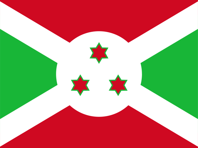 Burundi