6 cities

Location of Bosnia and HerzegovinaItalyVaticanNorth MacedoniaGreeceGermanyKosovoSan MarinoAustriaSwitzerlandBulgariaAlbaniaSlovakiaCroatiaSloveniaUkraineRomaniaHungarySerbiaMontenegroBosnia and HerzegovinaSarajevoBanja LukaZenicaMostarPrijedorTuzla
Country

Bosnia and Herzegovina

44.09° N, 18.07° E

For every 6.88 per 1,000 births there are 12.29 per 1,000 deaths — the population is falling 0.67% a year.

population growth -0.67% · 218th/230 · birth rate 6.88 per 1,000 · 220th/226 · death rate 12.29 per 1,000 · 14th/226
CIA World Factbook · 2026-02-01 · ranks computed across the countries in this atlas that carry the value

Population
3,301,000
Area
51,197 km²
Population density
≈ 64 / km²
Capital
Sarajevo
Natural Earth
ISO codes
BA · BIH
GDP (nominal)
$28.34 billion
GDP per capita (PPP)
$20,400
How big, reallyDrawn at the same scale as Denmark — the next country down in size. Equal-area projection, not the map you are used to.
Bosnia and Herzegovina 51,197 km²Denmark 43,094 km²

geometry: Natural Earth 1:50m · EPSG:6933 equal-area

Where Bosnia and Herzegovina sits in the world

Each line is every country in this atlas that carries the value, ordered smallest to largest. The line down the middle is the world median; the mark on each line is this country.

  1. Median age45.7 years18th of 224 · median 32.6 years
  2. Life expectancy78.5 years76th of 224 · median 76.2 years
  3. Fertility rate1.15 children per woman222nd of 225 · median 1.92 children per woman
  4. Population3,301,000135th of 235 · median 5,454,073
  5. Total area51,197 km²127th of 228 · median 83,736 km²
  6. Coastline20 km183rd of 229 · median 402 km

Overview

Name

The larger northern territory takes its name from the Bosna River, while the smaller southern section takes its name from the Old Serbian word "herceg," meaning "duke." The word combines with the possessive "-ov" and suffix "-ina," meaning "country," to denote "dukedom."

Source: CIA World Factbook · 2026-02-01 · text generated from this source, approved by a person

Geography

Bordering the Adriatic Sea and Croatia, Bosnia and Herzegovina lies in southeastern Europe. Mountains and valleys form the country's terrain. Maglic is the country's highest point. The Adriatic Sea marks its lowest point.

Within its recognized borders, Bosnia and Herzegovina is divided between a joint Bosniak/Croat Federation and the Bosnian Serb-led Republika Srpska, or RS. The region called Herzegovina is contiguous to Croatia and Montenegro. Its natural resources include coal, iron ore, antimony, bauxite, copper, lead, zinc, chromite, cobalt, manganese, nickel, clay, gypsum, salt, sand, timber, and hydropower.

Source: CIA World Factbook · 2026-02-01 · text generated from this source, approved by a person
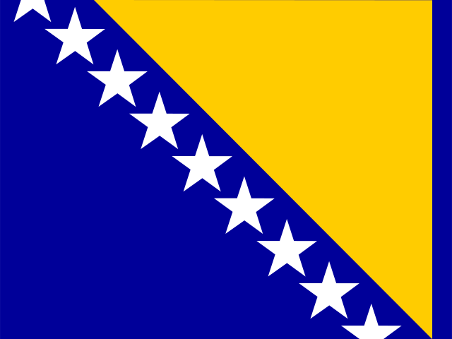
Key figures

CIA World Factbook

Economy

GDP (nominal)
$28.34 billion
GDP (PPP)
$64.64 billion
GDP per capita (PPP)
$20,400
GDP growth
+2.5%
Inflation (consumer prices)
1.7%
Unemployment
10.8%
Exports
$12.14 billion
Imports
$16.2 billion

People

Life expectancy
78.5 years
Median age
45.7 years
Birth rate
6.88 per 1,000
Death rate
12.29 per 1,000
Fertility rate
1.15 children per woman
Population growth
-0.67% a year
Urban population
50.3%
Languages
  • Bosnianofficial52.9%
  • Serbianofficial30.8%
  • Croatianofficial14.6%
  • no answer0.2%
  • others1.6%
Religions
  • Muslim50.7%
  • Orthodox30.7%
  • Roman Catholic15.2%
  • atheist0.8%
  • agnostic0.3%
  • undeclared/no answer1.1%
  • other1.2%

Land

Total area
51,197 km²Land 51,187 km² · Water 10 km²
Coastline
20 km
Land borders
1,543 km
Mean elevation
500 m
Highest point
2,386 m Maglic

Values from the CIA World Factbook archive. Each carries the year it describes; open a year for the exact source field.

Connections

Natural geography 3

Natural Earth outlines · features with a Wikidata ID

Mountain ranges 1

Peninsulas 1

Largest cities 6

Population · Natural Earth

  1. Sarajevocapital696.7K
  2. Banja Luka221.7K
  3. Zenica164.4K
  4. Mostar163.1K
  5. Tuzla144.3K
  6. Prijedor104.9K

Sources