Name
During a visit on 11 November 1493, explorer Christopher Columbus named the island after Saint Martin of Tours, whose feast day fell on that date.
Source: CIA World Factbook · 2026-02-01 · text generated from this source, approved by a person
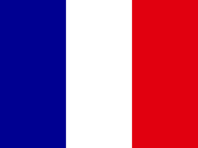 Saint Martin
18.08° N, 63.05° W
59 km of coast against 16 km of land border — this country faces the sea far more than it faces its neighbors.
coastline 59 km · 169th/229 · land borders 16 km · 159th/230
CIA World Factbook · 2026-02-01 · ranks computed across the countries in this atlas that carry the value
geometry: Natural Earth 1:50m · EPSG:6933 equal-area
Each line is every country in this atlas that carries the value, ordered smallest to largest. The line down the middle is the world median; the mark on each line is this country.
During a visit on 11 November 1493, explorer Christopher Columbus named the island after Saint Martin of Tours, whose feast day fell on that date.
Source: CIA World Factbook · 2026-02-01 · text generated from this source, approved by a person
Christopher Columbus claimed Saint Martin for Spain in 1493 and named it after the feast day of St. Martin of Tours. The Dutch occupied the island in 1631 to exploit its salt deposits, but Spain retook it in 1633 while the Dutch continued asserting their claims. Spain finally relinquished Saint Martin to the French and Dutch, who divided it between themselves in 1648. Friction between the two countries caused the border to fluctuate frequently over the next 200 years, with France eventually holding the greater portion. Sugarcane cultivation introduced African slavery in the late 18th century, and the practice was not abolished until 1848.
Saint Martin became a free port in 1939, and its tourism industry expanded dramatically during the 1970s and 1980s. In 2003, Saint Martin's populace voted to secede from Guadeloupe, and in 2007 its northern portion became a French overseas collectivity. In 2010, the southern Dutch portion became the independent nation of Sint Maarten within the Kingdom of the Netherlands. In 2017, Hurricane Irma passed over Saint Martin, causing extensive damage to roads, communications, electrical power, and housing. The UN estimated that buildings were damaged or destroyed.
Source: CIA World Factbook · 2026-02-01 · text generated from this source, approved by a person
Year-round warmth, low humidity, gentle trade winds, and brief, intense rain showers characterize Saint Martin's climate. Hurricanes affect Saint Martin during the hurricane season.
Source: CIA World Factbook · 2026-02-01 · text generated from this source, approved by a person
As an overseas collectivity of France, Saint Martin has a parliamentary democracy with a Territorial Council. Its legal system is French civil law. Saint Martin’s constitution is the French Constitution, dated 4 October 1958. Saint Martin has no independence and is an overseas collectivity of France. Its national holiday is Fête de la Fédération, 14 July (1790).
Source: CIA World Factbook · 2026-02-01 · text generated from this source, approved by a person
CIA World Factbook
Values from the CIA World Factbook archive. Each carries the year it describes; open a year for the exact source field.
Natural Earth outlines · features with a Wikidata ID