Overview
Background
Before colonial rule, present-day Nigeria contained ethnic groups, northern Islamic kingdoms, western empires, and decentralized southern entities. Borno, Kano, and the Sokoto Caliphate dominated the north, while the Benin and Oyo Empires controlled modern western Nigeria. In 1914, Britain amalgamated its northern and southern territories into the Colony and Protectorate of Nigeria. Nigeria gained independence in 1960, then became a federal republic with three constituent states in 1963 under President Nnamdi Azikiwe. After a 1966 coup and countercoup, the Eastern Region’s governor declared independence as the Republic of Biafra; the ensuing civil war, 1967-1970, forged a stronger Nigerian state and national identity.
Yakubu Gowon ruled until a bloodless coup in 1975. Military rule predominated until 1999, when Nigeria transitioned to civilian government and adopted a new constitution. The 2007 elections marked the first civilian-to-civilian transfer of power; in 2015, the All Progressives Congress won the presidency in the first peaceful transfer between parties. The 2019 and 2023 elections were broadly free and fair despite irregularities, intimidation, and violence. Nigeria continues institutionalizing democracy and reforming its petroleum-based economy while facing terrorism, banditry, secessionist violence, and competition over land and resources.
Source: CIA World Factbook · 2026-02-01 · text generated from this source, approved by a person
Geography
Western Africa borders the Gulf of Guinea and lies between Benin and Cameroon. Southern lowlands merge into central hills and plateaus, while mountains rise in the southeast and plains extend across the north.
The Niger River enters the country in the northwest and flows southward through tropical rainforests and swamps to its delta in the Gulf of Guinea. Nigeria's natural resources include natural gas, petroleum, tin, iron ore, coal, limestone, niobium, lead, zinc, and arable land. Chappal Waddi is the country's highest point. The Atlantic Ocean is the country's lowest point.
Source: CIA World Factbook · 2026-02-01 · text generated from this source, approved by a person
Climate
From equatorial conditions in the south to arid conditions in the north, the climate varies through a tropical center. The country's natural hazards include periodic droughts and flooding.
Source: CIA World Factbook · 2026-02-01 · text generated from this source, approved by a person
People and society
Nigeria's people include Hausa, Yoruba, Igbo (Ibo), Fulani, Tiv, Kanuri/Beriberi, Ibibio, Ijaw/Izon, and other ethnic groups.
Religious affiliations in Nigeria include Muslim, Roman Catholic, other Christian, and other. Nigeria has the largest population of any African nation, with significant population clusters scattered throughout the country and the highest-density areas in the south and southwest.
Source: CIA World Factbook · 2026-02-01 · text generated from this source, approved by a person
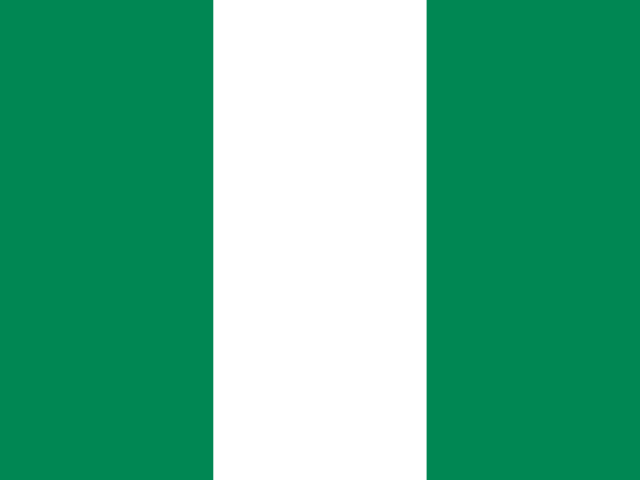 Nigeria