Name
Christopher Columbus named the island Anguilla in 1493, meaning "eel" in Spanish, because of the island's elongated shape.
Source: CIA World Factbook · 2026-02-01 · text generated from this source, approved by a person
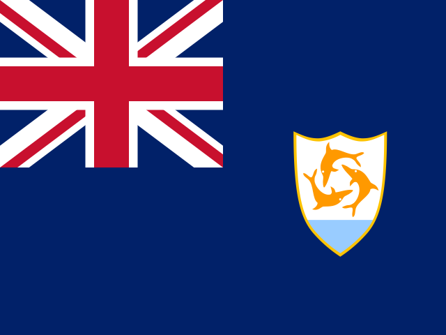 Anguilla
18.24° N, 63.03° W
100% of everyone here lives in a city.
urban population 100% · 1st/225
CIA World Factbook · 2026-02-01 · ranks computed across the countries in this atlas that carry the value
geometry: Natural Earth 1:50m · EPSG:6933 equal-area
Each line is every country in this atlas that carries the value, ordered smallest to largest. The line down the middle is the world median; the mark on each line is this country.
Christopher Columbus named the island Anguilla in 1493, meaning "eel" in Spanish, because of the island's elongated shape.
Source: CIA World Factbook · 2026-02-01 · text generated from this source, approved by a person
Between the Caribbean Sea and North Atlantic Ocean, Anguilla lies east of Puerto Rico. It is the most northerly of the Leeward Islands in the Lesser Antilles. The island is flat and low-lying, formed of coral and limestone.
Its natural resources include salt, fish, and lobster. Crocus Hill is the highest point. The Caribbean Sea is the lowest point.
Source: CIA World Factbook · 2026-02-01 · text generated from this source, approved by a person
CIA World Factbook
Values from the CIA World Factbook archive. Each carries the year it describes; open a year for the exact source field.
Natural Earth outlines · features with a Wikidata ID