Name
A self-descriptive name, Western Sahara specifies the territory’s western location on the African continent’s vast desert.
Source: CIA World Factbook · 2026-02-01 · text generated from this source, approved by a person
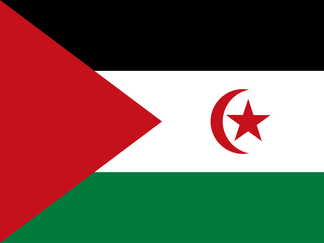 Western Sahara
23.97° N, 12.63° W
The population grows 2.54% a year, at 28 per 1,000 births per 1,000 people.
population growth +2.54% · 17th/230 · birth rate 28 per 1,000 · 34th/226
CIA World Factbook · 2026-02-01 · ranks computed across the countries in this atlas that carry the value
geometry: Natural Earth 1:50m · EPSG:6933 equal-area
Each line is every country in this atlas that carries the value, ordered smallest to largest. The line down the middle is the world median; the mark on each line is this country.
A self-descriptive name, Western Sahara specifies the territory’s western location on the African continent’s vast desert.
Source: CIA World Factbook · 2026-02-01 · text generated from this source, approved by a person
Between Mauritania and Morocco, Western Sahara borders the North Atlantic Ocean in Northern Africa. The terrain is mostly low, flat desert, with large areas of rocky or sandy surfaces rising to small mountains in the south and northeast.
Phosphates and iron ore are natural resources. The waters off the coast are particularly rich fishing areas. The highest point is an unnamed elevation. Sebjet Tah is the lowest point.
Source: CIA World Factbook · 2026-02-01 · text generated from this source, approved by a person
Hot, dry desert conditions define Western Sahara, where rain is rare and cold offshore air currents produce fog and heavy dew. During winter and spring, hot, dry, dust- and sand-laden sirocco winds can occur, while widespread harmattan haze often severely restricts visibility.
Source: CIA World Factbook · 2026-02-01 · text generated from this source, approved by a person
CIA World Factbook
Values from the CIA World Factbook archive. Each carries the year it describes; open a year for the exact source field.
Natural Earth outlines · features with a Wikidata ID