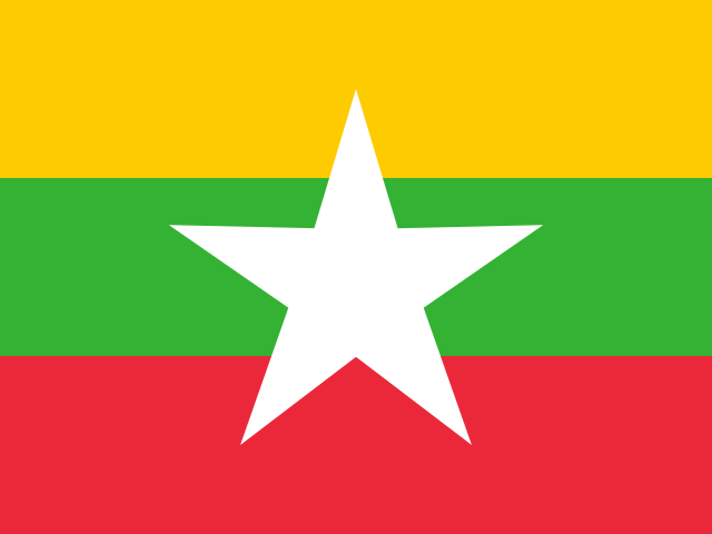
29 cities

Location of MyanmarMalaysiaSri LankaHong KongPhilippinesBruneiMacaoIndonesiaPakistanVietnamLaosMaldivesNepalIndiaAustraliaThailandBhutanChinaMongoliaKazakhstanSingaporeTimor-LesteTajikistanKyrgyzstanJapanSouth KoreaBangladeshAfghanistanUzbekistanNorth KoreaCambodiaTaiwanMyanmarYangonNaypyidawMawlamyineSittweBagoMyeikPatheinMandalayHinthadaMonywa
Country

Myanmar

21.57° N, 95.80° E

6,522 km of land border against just 1,930 km of coast — this country faces its neighbors far more than it faces the sea.

coastline 1,930 km · 59th/229 · land borders 6,522 km · 20th/230
CIA World Factbook · 2026-02-01 · ranks computed across the countries in this atlas that carry the value

Population
54,045,420
Area
676,578 km²
Population density
≈ 82 / km²
Capital
Yangon
Natural Earth
ISO codes
MM · MMR
GDP (nominal)
$74.08 billion
GDP per capita (PPP)
$5,300
How big, reallyDrawn at the same scale as Thailand. Equal-area projection, not the map you are used to.
Myanmar 676,578 km²Thailand 513,120 km²

geometry: Natural Earth 1:50m · EPSG:6933 equal-area

Where Myanmar sits in the world

Each line is every country in this atlas that carries the value, ordered smallest to largest. The line down the middle is the world median; the mark on each line is this country.

  1. Median age31.1 years127th of 224 · median 32.6 years
  2. Life expectancy70.3 years174th of 224 · median 76.2 years
  3. Fertility rate1.95 children per woman105th of 225 · median 1.92 children per woman
  4. Population54,045,42026th of 235 · median 5,454,073
  5. Total area676,578 km²42nd of 228 · median 83,736 km²
  6. Coastline1,930 km59th of 229 · median 402 km

Overview

Background

Ethnic Burmans and other ethnic and religious minority groups have resisted external efforts to consolidate control throughout Myanmar's history. Britain conquered Myanmar from the 1820s to the 1880s and administered it as a province of India until it became a self-governing colony in 1937. Myanmar gained independence in 1948; Ne Win seized power in 1962, ruling until a new military regime took control in 1988. In 1990, the regime rejected the NLD's election victory and kept Aung San Suu Kyi under house arrest until 2010. Rising fuel prices sparked the 2007 Saffron Revolution, which activists and monks launched before the regime violently suppressed it.

A constitution designed to preserve military control preceded the 2010 election, which the NLD boycotted and the military's proxy won. Reforms began haltingly; Aung San Suu Kyi returned to government in 2012, and the NLD won a sweeping victory in 2015. Her government faced criticism for blocking investigations into military operations against the ethnic Rohingya population, which the US Department of State determined constituted genocide. The NUG announced armed PDF militias and an insurgency in 2021; by 2024, PDF units continued fighting the regime.

Source: CIA World Factbook · 2026-02-01 · text generated from this source, approved by a person

Climate

A tropical monsoon climate brings cloudy, rainy, hot, humid summers during the southwest monsoon. During the northeast monsoon, winter is less cloudy, with scant rainfall, mild temperatures, and lower humidity. Destructive cyclones, flooding during the rainy season, and periodic droughts are natural hazards.

Source: CIA World Factbook · 2026-02-01 · text generated from this source, approved by a person

Government

A military regime governs. Its legal system combines English common law, as introduced in codifications designed for colonial India, with customary law. The latest constitution was drafted 9 April 2008 and approved by referendum 29 May 2008. Independence from the UK came on 4 January 1948. National holidays are Independence Day, 4 January (1948), and Union Day, 12 February (1947).

Source: CIA World Factbook · 2026-02-01 · text generated from this source, approved by a person

Key figures

CIA World Factbook

Economy

GDP (nominal)
$74.08 billion
GDP (PPP)
$287.56 billion
GDP per capita (PPP)
$5,300
GDP growth
-1%
Inflation (consumer prices)
8.8%
Unemployment
3.1%
Exports
$20.4 billion
Imports
$23.1 billion

People

Life expectancy
70.3 years
Median age
31.1 years
Birth rate
15.44 per 1,000
Death rate
7.17 per 1,000
Fertility rate
1.95 children per woman
Population growth
+0.69% a year
Urban population
32.1%
Literacy
93.5%
Languages
  • Burmeseofficial
Religions
  • Buddhist87.9%
  • Christian6.2%
  • Muslim4.3%
  • Animist0.8%
  • Hindu0.5%
  • other0.1%

Land

Total area
676,578 km²Land 653,508 km² · Water 23,070 km²
Coastline
1,930 km
Land borders
6,522 km
Mean elevation
702 m
Highest point
5,870 m Gamlang Razi

Values from the CIA World Factbook archive. Each carries the year it describes; open a year for the exact source field.

Connections

Natural geography 9

Natural Earth outlines · features with a Wikidata ID

Largest cities 29

Population · Natural Earth

  1. Yangoncapital4.1M
  2. Mandalay1.3M
  3. Naypyidawcapital930K
  4. Mawlamyine438.9K
  5. Bago284.3K
  6. Myeik266.7K
  7. Pathein237.1K
  8. Monywa226.2K
  9. Hinthada180.7K
  10. Sittwe179K
  11. Letpadan176.6K
  12. Myingyan163.8K

Sources