Name
A British captain, John Marshall, gave the Marshall Islands their name after charting many of the islands in 1788.
Source: CIA World Factbook · 2026-02-01 · text generated from this source, approved by a person
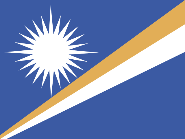 Marshall Islands
7.08° N, 171.19° E
No land border at all — every neighbor is across water, along 370 km of coast, the 120th longest on Earth.
land borders 0 km · 164th/230 · coastline 370 km · 120th/229
CIA World Factbook · 2026-02-01 · ranks computed across the countries in this atlas that carry the value
geometry: Natural Earth 1:50m · EPSG:6933 equal-area
Each line is every country in this atlas that carries the value, ordered smallest to largest. The line down the middle is the world median; the mark on each line is this country.
A British captain, John Marshall, gave the Marshall Islands their name after charting many of the islands in 1788.
Source: CIA World Factbook · 2026-02-01 · text generated from this source, approved by a person
Low coral limestone and sand islands lie in the North Pacific Ocean, within Oceania, about halfway between Hawaii and Australia. The atolls and isolated islands form the almost-parallel Ratak (Sunrise) and Ralik (Sunset) chains.
Kwajalein atoll surrounds the world's largest lagoon. East-central Airik Island in Maloelap Atoll is the highest point. The Pacific Ocean is the lowest point. The islands' natural resources include coconut products, marine products, and deep seabed minerals.
Source: CIA World Factbook · 2026-02-01 · text generated from this source, approved by a person
A mixed presidential-parliamentary system governs Marshall Islands in free association with the US. Its legal system is a mixed system of US and English common law, customary law, and local statutes. The constitution took effect on 1 May 1979. Independence came on 21 October 1986 from the US-administered UN trusteeship. The national holiday is Constitution Day, 1 May (1979).
Source: CIA World Factbook · 2026-02-01 · text generated from this source, approved by a person
CIA World Factbook
Values from the CIA World Factbook archive. Each carries the year it describes; open a year for the exact source field.
Natural Earth outlines · features with a Wikidata ID
Population · Natural Earth