Name
The name Antarctica derives from two Greek words, "anti" and "arktikos", meaning "opposite to the Arctic" or "opposite to the north".
Source: CIA World Factbook · 2026-02-01 · text generated from this source, approved by a person
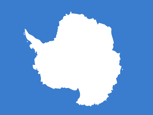 Antarctica
79.84° S, 35.89° E
12,356,254 km² of land — the 2nd largest country on Earth.
total area 12,356,254 km² · 2nd/235
computed · ranks computed across the countries in this atlas that carry the value
geometry: Natural Earth 1:50m · EPSG:6933 equal-area
Each line is every country in this atlas that carries the value, ordered smallest to largest. The line down the middle is the world median; the mark on each line is this country.
The name Antarctica derives from two Greek words, "anti" and "arktikos", meaning "opposite to the Arctic" or "opposite to the north".
Source: CIA World Factbook · 2026-02-01 · text generated from this source, approved by a person
Speculation over a 'southern land' was confirmed in the early 1820s, when British and American commercial operators and British and Russian national expeditions began exploring the Antarctic Peninsula region. They also explored other areas south of the Antarctic Circle. In 1840, it was finally established that Antarctica was a continent rather than a group of islands or an area of ocean. Several exploration 'firsts' were achieved in the early 20th century, but the area saw little human activity.
Following World War II, the continent experienced an upsurge in scientific research. Countries established year-round and seasonal stations, camps, and refuges to support scientific research in Antarctica. Countries made territorial claims, but these claims are not recognized by all countries. To provide a legal framework for activities on the continent, countries negotiated an Antarctic Treaty. Signed in 1959 and entering into force in 1961, it neither denies nor recognizes existing territorial claims. The Environmental Protocol to the Antarctic Treaty and the Convention on the Conservation of Antarctic Marine Living Resources are also relevant to Antarctic governance.
Source: CIA World Factbook · 2026-02-01 · text generated from this source, approved by a person
Two horizontal bands of navy and white frame a stylized white peak at the center, whose navy shadow forms a compass arrow pointed south. The bands represent the long days and nights at Antarctica's extreme latitude, while the arrow is an homage to the continent's legacy of exploration; together, the peak and arrow create a diamond symbolizing hope that Antarctica will continue to be a center of peace, discovery, and cooperation. The unofficial flag, created in 2018, has been used by national Antarctic programs, Antarctic nonprofits, and expedition teams.
Source: CIA World Factbook · 2026-02-01 · text generated from this source, approved by a person
CIA World Factbook
Values from the CIA World Factbook archive. Each carries the year it describes; open a year for the exact source field.
Natural Earth outlines · features with a Wikidata ID